The Federal Capital Territory
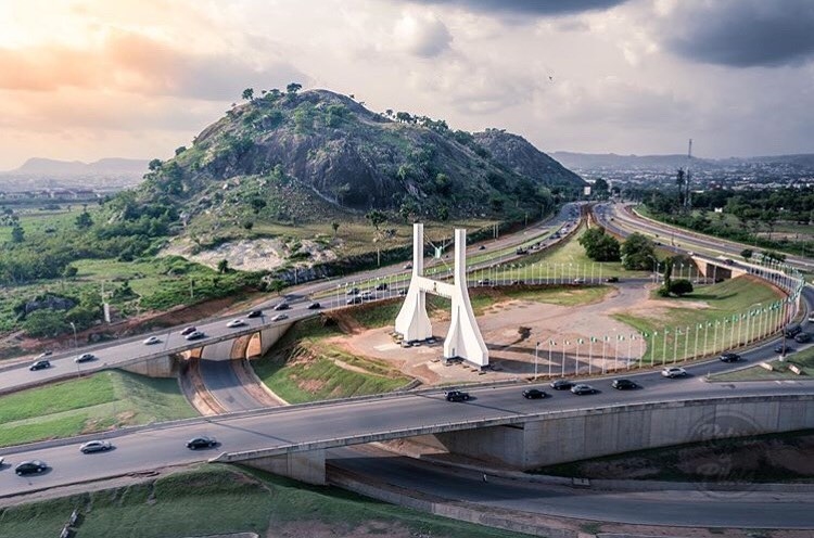
Abuja: A symbol of Nigeria’s unity and a masterpiece of modern urban planning.
A Capital Born of Vision
The Federal Capital Territory was created upon the promulgation of decree number 6 of 1976. It emerged from a visionary need to replace Lagos with a city that offered neutral ground, boundless space for expansion, and a central heart for the nation.
Chosen for its geographical centrality and cultural neutrality, the FCT is home to a rich tapestry of indigenous tribes including the Gbagyi, Ganagana, Igbiras, Gede, Bassa, Gwandara, and Nupe, coexisting in a model of national harmony.
2 Million+
Population Growth
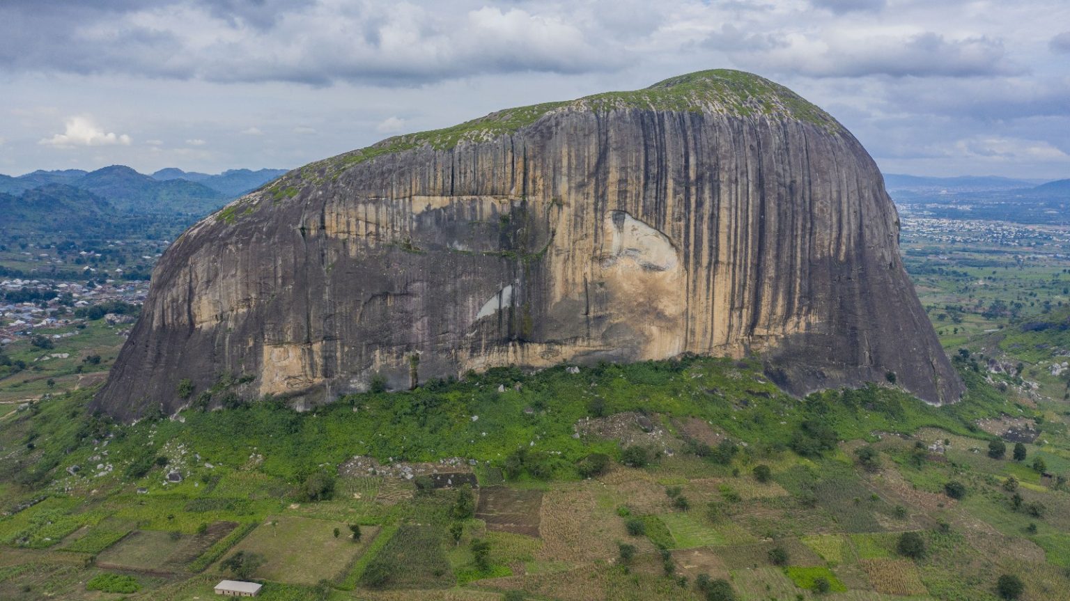
Geography of the FCT
Occupying 7,315 km² at the geographical center of Nigeria, the FCT boasts a mild tropical climate and a landscape designed for sustainable urban life.
Abaji
Abuja Municipal
Bwari
Gwagwalada
Kuje
Kwali
The Abuja Master Plan
Developed in February 1979, the Abuja Master Plan serves as the foundational blueprint for implementation of all developmental activities within the territory.
Strategic Foundation
The masterplan remains the cornerstone for the city's growth, ensuring a structured approach to urban development, environmental conservation, and social infrastructure.
274K
Hectares for Agric
Economic Potential
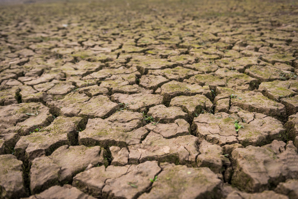
The FCT is blessed with fertile land that sustains major crops and livestock, providing a distinct comparative advantage for agricultural investment and sustainability.
270,000 Hectares
Dedicated Forest Reserves
60,000 Hectares
Natural Waterways & Hilltops