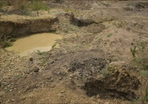
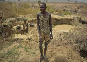
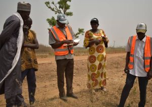
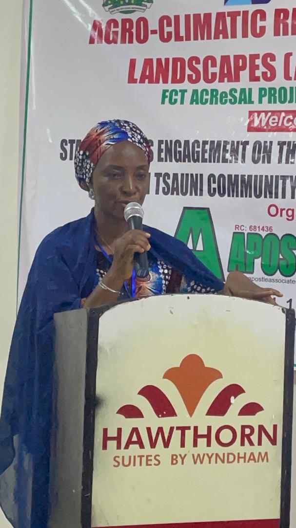
The Federal Capital Territory (FCT) Agro-Climatic Resilience in Semi-Arid Landscapes (ACReSAL) Project Team conducted an assessment of illegal mining sites in the Tsanni Community of Gwagwalada Area Council.
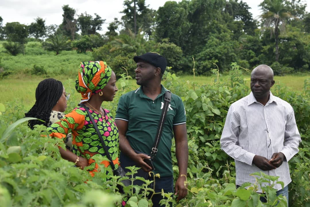
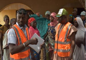
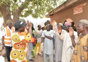
The Social Livelihood Officer of the Project, Mrs. Mary Ehonu, who led the ACReSAL team to the community, highlighted the critical nature of the situation, stating that the visit was to enable the team evaluate the extent of degradation resulting from illegal mining activities. “As one of the locations in the FCT that has been experiencing serous illegal mining activities, our team is here to evaluate the extent of land degradation and to determine the scope of intervention required to rehabilitate the affected areas.” Ehonu explained.
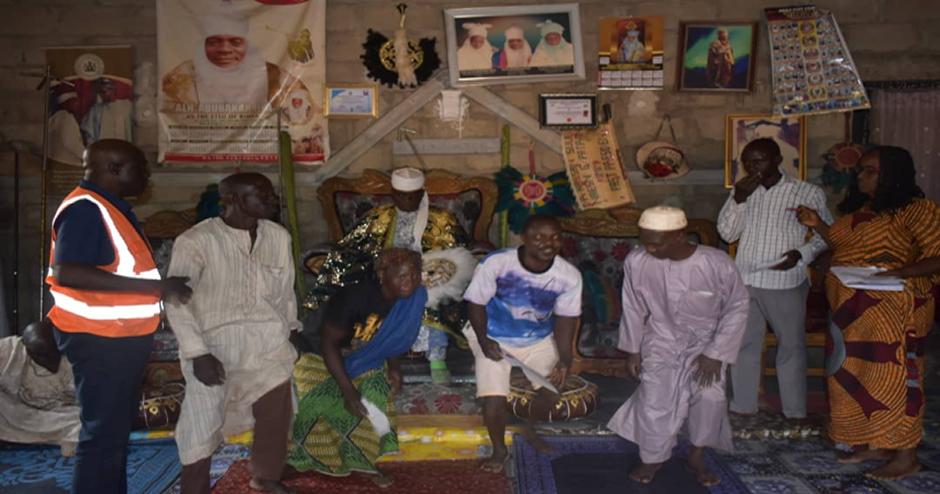
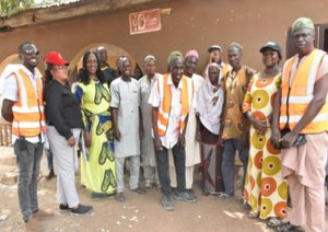
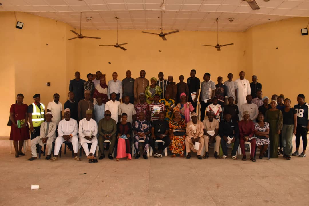
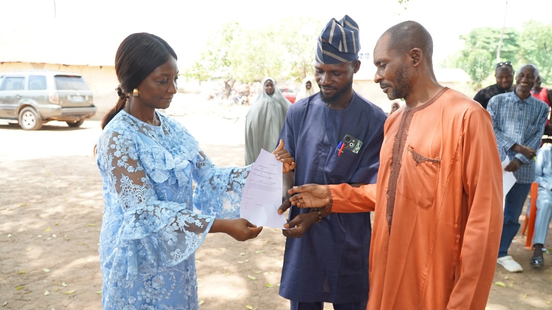
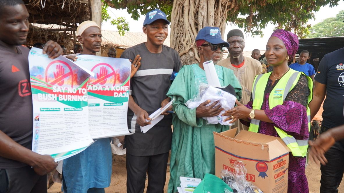
In addition to the assessment of the mining sites, the team took the opportunity to inaugurate the Site Implementation Committee (SIC) as well as registered Community Interest Groups (CIG’S) for the Tsanni community.
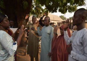
During an interactive session with the community members, the the issue of preferred species of trees to be replanted was discussed with a consensus to prioritize on economically beneficial tree species like mango, orange, cashew, teak, and palm, given their multiple advantages.
Mrs. Margaret Ladoja, the FCT Monitoring and Evaluation expert for ACReSAL, stressed the need for the community to strengthen their vigilance, encouraging them to report any illegal mining activities to the authorities in order to safeguard their environment from further degradation.
On his part, the Climate Change Officer of FCT ACReSAL, Mr. Yunusa Boyos voiced his optimism that with the active participation of the community, ACReSAL would be able to successfully rehabilitate the degraded lands, thereby improving the community’s agricultural prospects and well-being of the people.
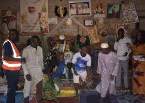
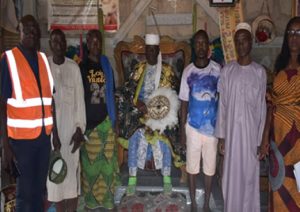
Earlier, the Galadima of Tsanni, His Highness, Galadima Abubakar, showed gratitude for the initiative, vowing to rally the support of his community for the project.
The team’s visit involved meticulous documentation of the current state of the affected areas, including video clips that will be used as a baseline for post-intervention comparisons.
